Move Me to Ponte Vedra logo Move Me to Ponte Vedra Mollie Younger · eXp Realty

Boating & Paddling · St. Johns County

Where to Launch a Boat in St. Johns County, Florida

Public ramps and paddle launches from Ponte Vedra to the St. Johns River, compared honestly.

When I help someone compare homes, I want to understand what their weekends will look like. If boating or paddling is part of yours, the right launch matters as much as the distance to the water. Use this guide to compare public access around Ponte Vedra, Nocatee, St. Augustine and the St. Johns River.

An honest note before you go.

These details come from St. Johns County and official sources, reviewed October 8, 2026, and they can change. Check the county's boat ramps page before you go. A few entries are flagged as not fully verified and are marked as such.

The map

The launches, at a glance.

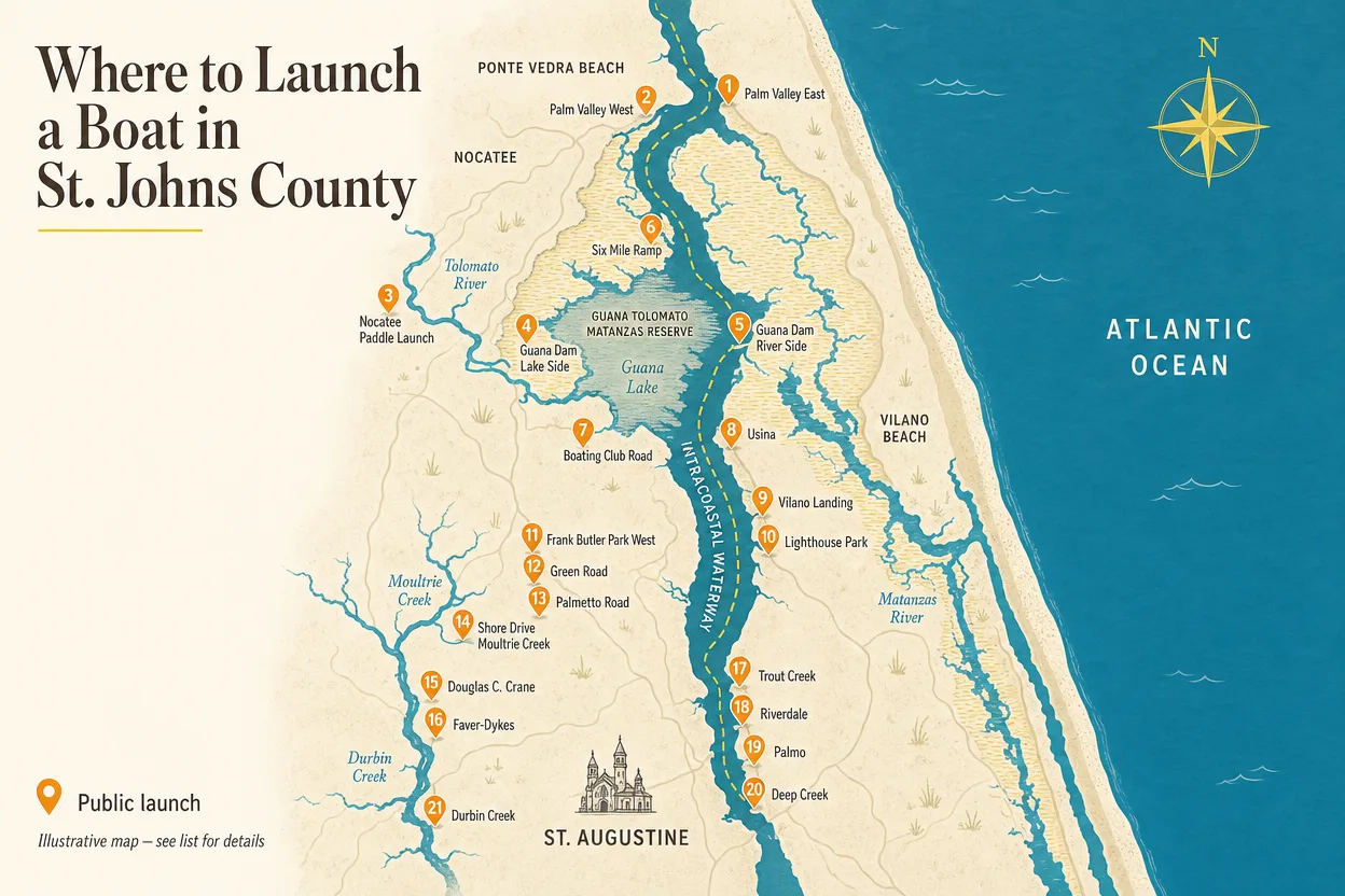
This stylized map shows where the public ramps and paddle launches sit across the county. Treat it as an orientation tool, not a navigational chart: the detailed list below carries the addresses, parking, facilities and fees that actually plan your day.

Illustrated map of St. Johns County boat ramps and kayak launches from Ponte Vedra to the St. Johns River

An illustrative map, not a navigational chart

The detailed list below is the source of truth for conditions, parking and fees.

Interactive map: zoom in to see the launches along the Intracoastal and the coast.

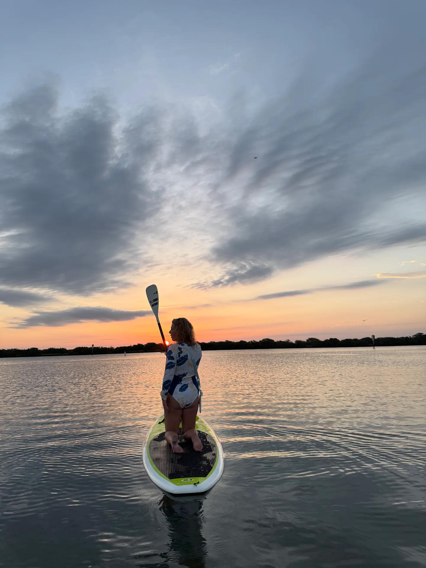
Sunset over the water near Ponte Vedra, Florida
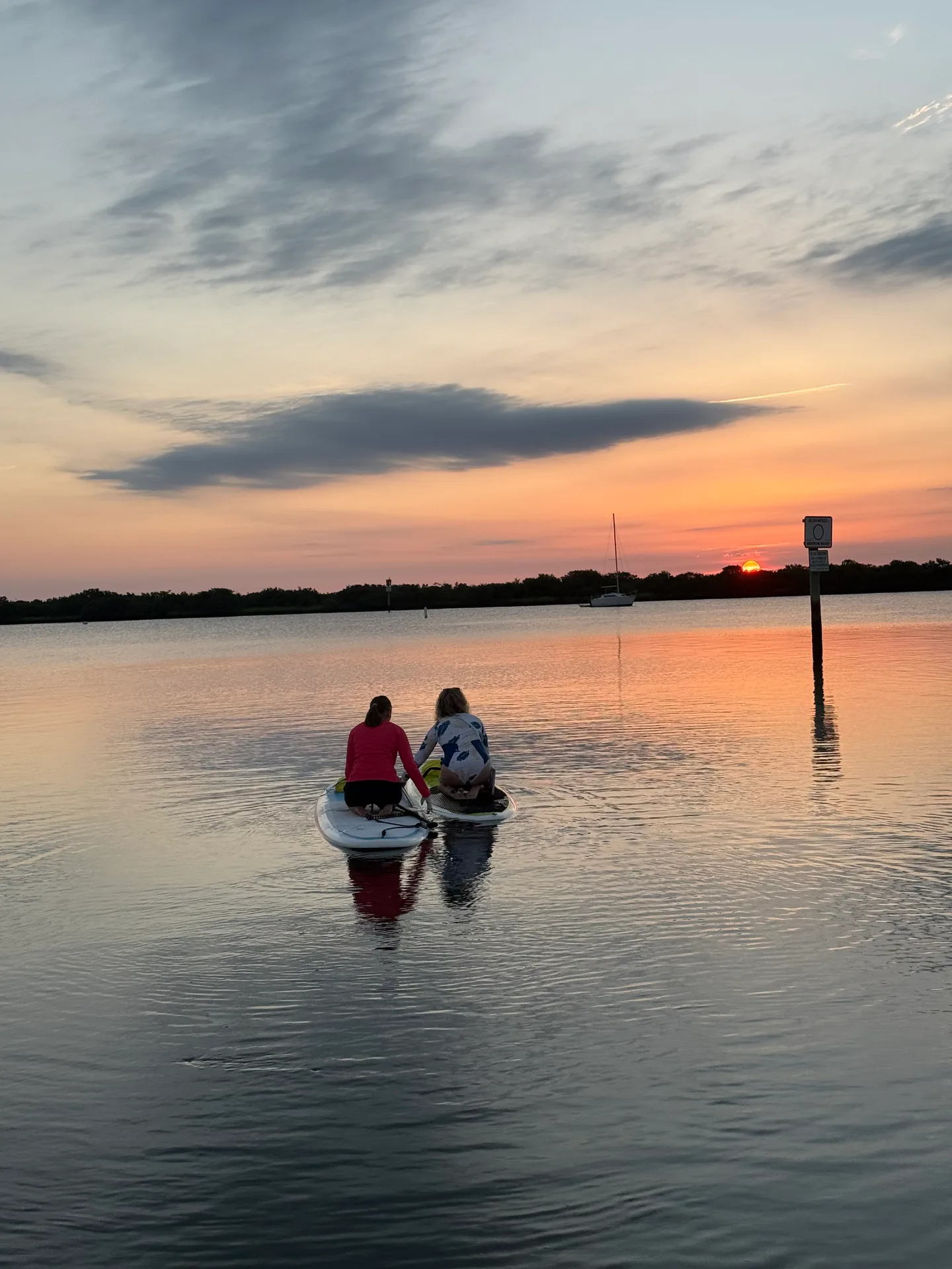
A paddleboarder kneeling on calm water at sunset near the Nocatee paddle launch

The public launches

21 places to get on the water, compared honestly.

Every launch below is a public access recorded in county or official data. I grouped them by region so you can scan what sits near the communities you are considering, then dig into the details that actually change your day: waterway, access type, parking, facilities, and hours or fees.

About the parking counts: county GIS counts are unspecified spaces, not trailer spaces. A count does not mean a trailer will fit.

  • Anastasia Island

    Frank Butler Park West

    • Matanzas River
    • Boat ramp
    Address
    403 Riverside Blvd, 32080 (county directory uses 400)
    Parking
    Yes · GIS 45 spaces
    Facilities
    Floating dock, restrooms, picnic, BBQ
    Hours / fee
    Dawn to dusk, free

    Note: Reopened May 2025 after improvements; GIS parking count may predate work.
  • Anastasia Island

    Green Road Boat Ramp

    • Matanzas River / ICW
    • Boat and kayak access
    Address
    180 Green Rd, 32080
    Parking
    Limited · GIS 8 spaces
    Facilities
    Fishing dock, limited street parking
    Hours / fee
    Dawn to dusk, free

    Note: Limited parking on the south side of Green Road; do not assume trailer capacity.

  • Anastasia Island

    Lighthouse Park Boat Ramp

    • Salt Run
    • Boat ramp
    Address
    446 Ocean Vista Ave, 32080 (county directory uses 442)
    Parking
    Limited · GIS 40 spaces
    Facilities
    Dock, restrooms, picnic
    Hours / fee
    Dawn to dusk

    Note: City guidance differs from raw GIS; no overnight parking or boat storage; adjacent yacht club lot is private.

  • Anastasia Island

    Palmetto Road Boat Ramp

    • Matanzas River
    • Small boats
    Address
    395 Palmetto Rd, 32080
    Parking
    Limited · GIS 4 spaces
    Facilities
    Fishing dock, limited parking
    Hours / fee
    Dawn to dusk, free
  • Nocatee / Palm Valley Approximate

    Nocatee Paddle Launch

    • Tolomato River
    • Nonmotorized kayak / canoe / SUP
    Address
    9074 Tolomato Rd, 32081 (park GIS address 2015 Nocatee Landing Trl)
    Parking
    Yes
    Facilities
    Pavilion, parking, restrooms, bike racks
    Hours / fee
    Dawn to dusk

    Flag: Precise launch pin and entrance not verified; treat the location as approximate.

  • Nocatee / Palm Valley

    Palm Valley West Boat Ramp

    • Intracoastal Waterway
    • Boat ramp plus dedicated kayak ramp
    Address
    230 Lori Ln, 32081
    Parking
    Yes · GIS 32 spaces
    Facilities
    Dedicated kayak ramp, floating dock, portable restrooms, picnic
    Hours / fee
    Dawn to dusk, free

    Note: West bank, distinct from Palm Valley East.

  • Northwest county Not fully verified

    Durbin Creek Canoe Launch

    • Durbin Creek
    • Canoe / kayak
    Address
    Race Track Road at Durbin Creek
    Parking
    Unknown
    Facilities
    Facilities not verified
    Hours / fee
    Not specified

    Flag: Verify the physical launch and approach before relying on it.

  • Ponte Vedra / Guana

    Guana Dam - Lake Side

    • Guana Lake
    • Boat ramp / paddle access
    Address
    Guana Dam, off A1A
    Parking
    Yes · GIS 10 spaces
    Facilities
    Parking, paddle rentals at dam
    Hours / fee
    4 a.m. to 9 p.m., $3 per vehicle (up to 8 people) plus tax

    Note: North of the dam; shares the facility with the river side, never add the two parking counts together.

  • Ponte Vedra / Guana

    Guana Dam - River Side

    • Guana River
    • Boat ramp / paddle access
    Address
    Guana Dam, off A1A
    Parking
    Yes · GIS 10 spaces
    Facilities
    Parking, paddle rentals at dam
    Hours / fee
    4 a.m. to 9 p.m., $3 per vehicle (up to 8 people) plus tax

    Note: South of the dam; shares the facility with the lake side, never add the two parking counts together.

  • Ponte Vedra / Guana

    Six Mile Ramp - Guana

    • Guana Lake
    • Boat ramp
    Address
    A1A, north end of Guana Lake
    Parking
    Yes · GIS 15 spaces
    Facilities
    Parking
    Hours / fee
    Free entrance

    Note: Check FWC notices, seasonal access and vessel restrictions.

  • Ponte Vedra / Palm Valley

    Palm Valley East Boat Ramp

    • Intracoastal Waterway
    • Boat ramp
    Address
    383 S Roscoe Blvd, 32082
    Parking
    Yes · GIS 9 spaces
    Facilities
    Floating dock, portable restrooms
    Hours / fee
    Dawn to dusk, free

    Note: East bank, distinct from Palm Valley West.

  • Southern county

    Faver-Dykes State Park

    • Pellicer Creek
    • Small boats / paddlecraft
    Address
    1000 Faver Dykes Rd, 32086
    Parking
    Yes · GIS 5 spaces
    Facilities
    Picnic area, parking
    Hours / fee
    8 a.m. to sunset, $5 per vehicle

    Note: State park entry fee applies.

  • St. Augustine South

    Douglas C. Crane Boat Ramp

    • Matanzas River
    • Small boats / kayaks
    Address
    1039 Shore Dr, 32086
    Parking
    Yes · GIS 50 spaces
    Facilities
    Picnic table, portable restroom
    Hours / fee
    Dawn to dusk, free

    Note: Single ramp; assess current conditions and vessel suitability.

  • St. Augustine South

    Shore Drive / Moultrie Creek Ramp

    • Moultrie Creek
    • Boat ramp
    Address
    4805 Shore Dr, 32086
    Parking
    Yes · GIS 15 spaces
    Facilities
    Floating dock, ADA boardwalk, picnic, trails
    Hours / fee
    Dawn to dusk, free

    Note: The ADA boardwalk does not establish an adaptive launch.

  • Vilano / North Beaches

    Boating Club Road Boat Ramp

    • Tolomato River
    • Boat ramp
    Address
    615 Boating Club Rd, 32084
    Parking
    Yes · GIS 10 spaces
    Facilities
    Vehicle and trailer parking, trash receptacles
    Hours / fee
    Dawn to dusk, free

    Note: Distinct from the private St. Augustine Boating Club next door.

  • Vilano / North Beaches

    Usina Boat Ramp

    • Tolomato River / ICW
    • Boat ramp
    Address
    603 Euclid Ave, 32084
    Parking
    Yes · GIS 20 spaces
    Facilities
    Floating dock, fishing pier, cleaning table, restrooms, showers
    Hours / fee
    Dawn to dusk, free

    Note: Visitor page describes double access; GIS records one lane.

  • Vilano / North Beaches

    Vilano Landing Boat Ramp

    • Tolomato River / ICW
    • Boat ramp
    Address
    101 Vilano Causeway, 32084
    Parking
    Yes · GIS 250 spaces
    Facilities
    Two floating docks, picnic area, restrooms, concessions
    Hours / fee
    Dawn to dusk, free

    Note: Planned work anticipated fall 2026 through summer 2027; check notices, not a confirmed current closure.

  • Western county

    Deep Creek Landing

    • Deep Creek
    • Paddle access, motorized launch unverified
    Address
    7975 SR 207
    Parking
    Yes · GIS 10 spaces
    Facilities
    Parking
    Hours / fee
    Not specified

    Note: County GIS lists zero lanes and state ownership; park GIS lists county ownership.

  • Western county

    Palmo Boat Ramp

    • St. Johns River
    • Small boats
    Address
    8600 Palmo Fish Camp Rd, 32092
    Parking
    Yes · GIS 50 spaces
    Facilities
    Fishing dock, parking
    Hours / fee
    Dawn to dusk, free
  • Western county

    Riverdale Park

    • St. Johns River
    • Boat ramp
    Address
    980 CR 13 South (directory uses 981)
    Parking
    Yes · GIS 25 spaces
    Facilities
    Restrooms, picnic, BBQ
    Hours / fee
    Dawn to dusk, free

    Note: Verify the driving entrance before publication.

  • Western county

    Trout Creek Park

    • Trout Creek / St. Johns River
    • Boat ramp
    Address
    6795 Collier Rd, 32092
    Parking
    Yes · GIS 50 spaces
    Facilities
    Double ramp, accessible boardwalk, restrooms, picnic, BBQ, playground, trails
    Hours / fee
    Dawn to dusk, free

    Note: The accessible boardwalk does not establish an adaptive boat launch.

The county keeps the official boat ramps page with the latest conditions, closures and fees. Worth a check every time you plan a day on the water.

St. Johns County Boat Ramps
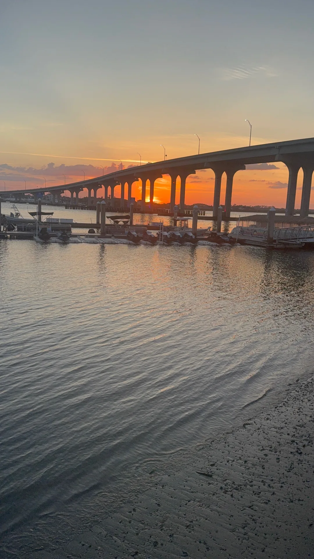
Boats moored at wooden piers beneath a bridge at sunset on the water near Ponte Vedra, Florida

What about private ramps?

Private and unverified sites, left off the list.

Ten sites in the county data are private or unverified, so they are not listed as public launches. Some are members-only clubs, some are condo or resort facilities, and some simply could not be confirmed. If you are told about one of these, treat access as uncertain until the owner confirms it.

  • Devils Elbow Fish Camp
  • St. Augustine Boating Club
  • Tradewinds Condominium
  • Villages of Vilano
  • Six Mile Marina Ramp
  • Old Tocoi Fish Camp
  • Trout Creek Memorial Park and Marina
  • Pine Island Fish Camp
  • Ocean Grove Camp Resort
  • Summer Island

Quick answers

The questions I hear before launch day.

Where can you launch around Ponte Vedra?

Palm Valley East and West provide ramps on opposite sides of the Intracoastal; West also has a dedicated kayak ramp, and the Nocatee Paddle Launch serves nonmotorized kayaks, canoes and paddleboards.

Are the ramps free?

Not all. Faver-Dykes is $5 per vehicle; Guana Dam is $3 per vehicle (up to 8 people) plus tax; Six Mile entrance is free. Recheck operator prices before you go.

What should I know about parking?

County GIS counts are unspecified spaces, not trailer spaces; don't assume a trailer will fit.

What waterways does this guide cover?

The guide covers the Intracoastal and its rivers, Guana waters, Pellicer Creek, and the St. Johns River system. A ramp listing does not establish vessel suitability or safe ocean access.

Two people stand-up paddleboarding at sunset on calm water with a shoreline and a small sailboat in the distance

Thinking about a home near the water? Let's compare your drive to the launch, storage needs and the weekend routine you want. Contact Mollie Younger, eXp Realty: (502) 419-9571 .